|
|
London North Western
Railway:
Midland
Railway:
Stratford
Midland Junction Railway
|
|
LMS Route: Rugby to Wolverhampton
LMS Route: Nuneaton to
Leamington
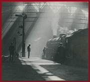
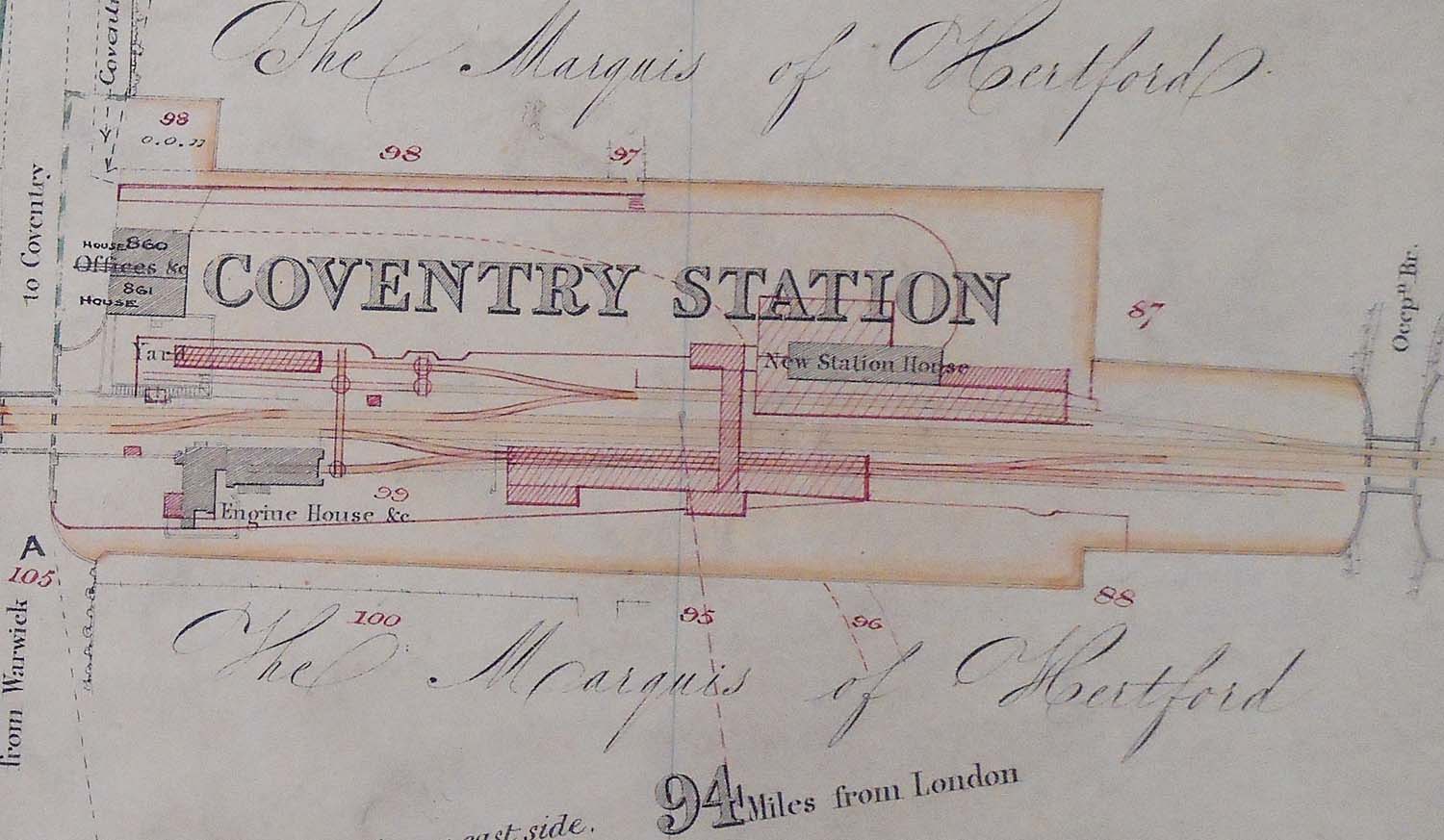
Coventry Station: lnwrcov4488b
An updated 1841 map of the L&BR giving a closer view of
the station in both its earlier and later form. The structures hatched in grey
are thought to be pre 1860 whilst the structures in red are post 1860 as seen
in image ('llnwrcov620'). The shaded red area seen
adjacent to what became the parcels depot was a carriage shed. Mike Hollick of
the LNWR society writes: 'its also shown on the 1863 LNWR Survey. I haven't
traced when it was erected but in the LNWR Traffic Committee Minutes for 14th
April 1864 there is the following statement. Plan submitted for a crossing
at Coventry for the sidings for Carriages on the Up side - estimate £45.
Approved and referred to Works Committee to carry out'. The above map was
provided by Russell Burridge who copied two huge 4ft x 2ft folders showing in
detail the route as surveyed in 1841 by Binns & Clifford of Birmingham, and
updated by F Wood of Rugby in 1863 and then by others up until circa 1892.
 back back
|