|
|
 |
|
|
London North Western
Railway:
Midland
Railway:
Stratford
Midland Junction Railway
|
|
LMS Route: Nuneaton to Birmingham New Street
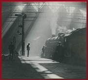
Shustoke Station: mr_shus1061
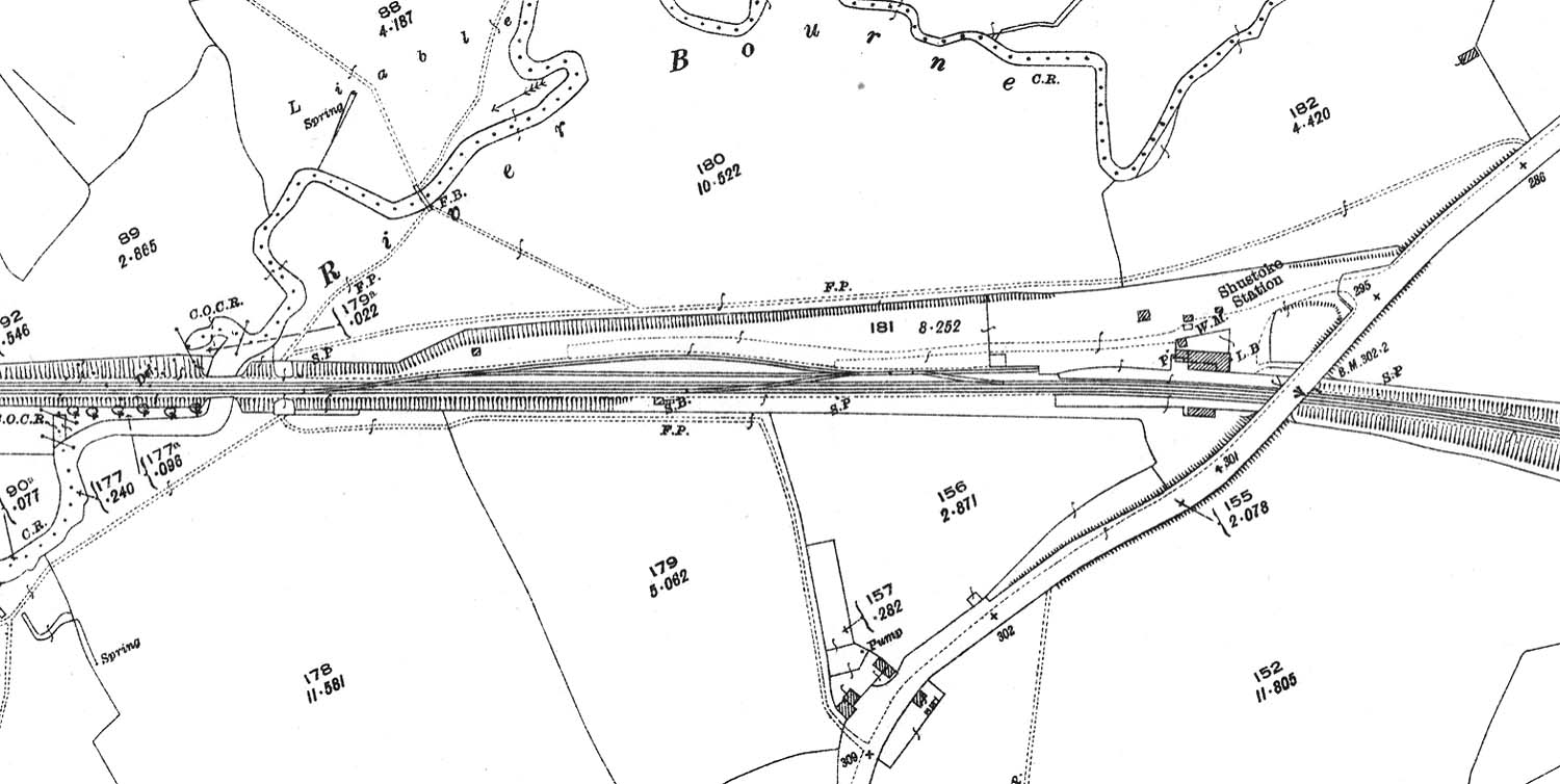
A 1924 25 inch to the mile Ordnance Survey map showing
Shustoke station and two siding goods yard. The access to the station and the
goods yard was off Coleshill Road which crossed the railway on the Nuneaton
side of the station. The letters 'WM' at the entrance to the yard show where
the weighbridge was located whilst 'L B' indicates the position of a letterbox.
The cattle dock is located to the left of the station building, accessed by a
short spur from the two loop sidings.
 back back
|
|
|