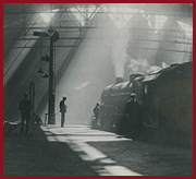
LMS Route: Rugby to Wolverhampton
Brandon and Wolston: lnwrbw3296
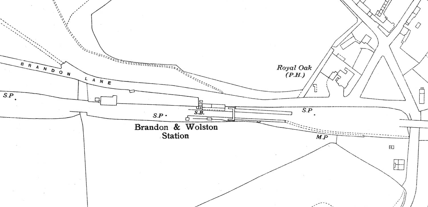
A 1938 Ordnance Survey outline map showing Brandon &
Wolston Station, goods yard and shed down refuge siding. This OS map has
omitted the tracks but has included the outline of buildings. What is of
interest is that the station building facing on to Brandon Lane is a flat
fronted structure whereas the building shown on the 1886 and 1903 Ordnance
Survey maps has a 'step front' elevation. This flat fronted structure can be
seen in image 'lnwrbw3095'. Note the pathway from
the Rugby end of the down platform to Main Street which appears on the OS maps
for the first time.
 back back

|