|
|
London North Western
Railway:
Midland
Railway:
Stratford
Midland Junction Railway
|
|
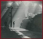
LMS Route: Rugby to Tamworth
Polesworth Station: lnwr_pol4432
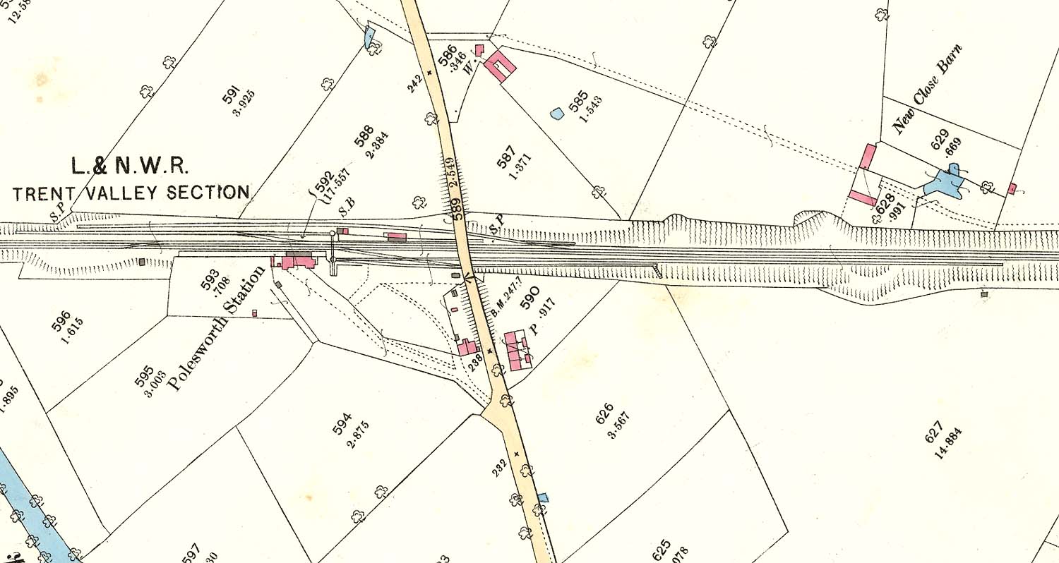 |
An 1884 25 inch to the Mile Ordnance Survey Map of
Polesworth station, two sidings goods yard and goods shed. Access to the goods
yard from the Up line was via one of two trailing crossovers, meaning the train
had to reverse into the yard. One set of trailing set of points can be seen
opposite the station buildings which were located on the down line. The other
set of points are to the right of the road bridge. Access from the down line
was more convoluted. A refuge siding used to hold good trains whilst the
priority passenger services sped by was accessed from a trailing set points
adjacent to the station and opposite the Signal Cabin (SB). This trailing set
of points also accessed the shorter siding which was adjacent to the refuge
siding. Both sidings were accessed by a wagon turntable located next to
Polesworth's down platform. A set of trailing crossovers are evident on the
down line, to the left of Polesworth station. This set of points could be used
to reverse down trains across the up line before being drawn forward into the
yard.
 back back
|