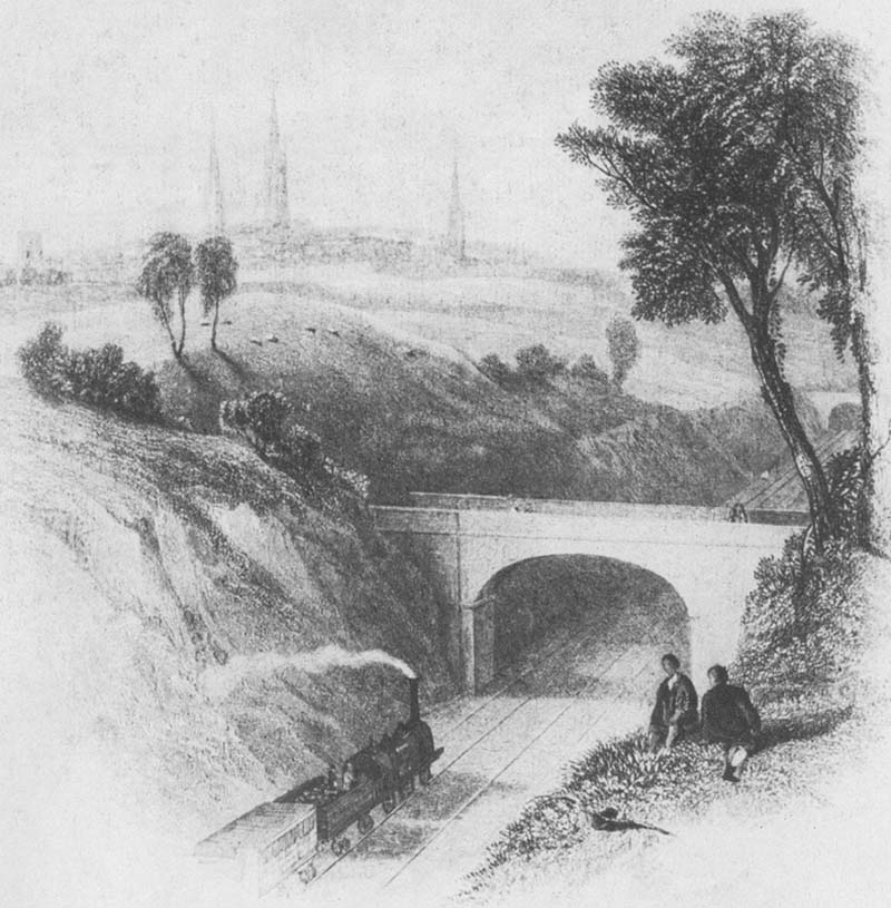
An early view of a L&B Birmingham to London train hauled by a Bury 2-2-0 approaching the outskirts of Coventry. This circa 1838 engraving by W Radclyffe has caused some debate as to its location because there is no location between Canley station and the City centre where an overbridge crosses the line at a level lower than the surrounding landscape. I contend that its probably a facsimile of what we call today Earlsdon North bridge on the basis that this is the only area where their is a deep cutting. The height of the spires in the background would also proximate to this location too. However, in the distance there is another overbridge which is a puzzle because two adjacent over bridges crossing a cutting do not exist today. Geoff Barwick of the Earlsdon Research Group writes "Regarding the above engraving. We have looked at this and going back to basics we accept that it is the bridge over what was 'Elsdon Lane' which ran from Stivichall Common to Hearsall Common, over the rail line. Elsdon Lane was shown on some maps as Earlsdon Lane (Earlsdon was started in 1853) but Earlsdon Ave was built in the early 1900s and became Earlsdon Ave North & South after 1920. Having said that the small bridge shown on the right is not known about today or was artist's licence. Intriguingly, if one takes the view that Coventry is behind the artist then the small bridge on the right looks OK for being Beechwood Ave bridge. Another school of thought is that the bridge in the distance is in fact Earlsdon Road North bridge and the bridge in the foreground is Beechwood Avenue. However the latter was a humped back bridge and there was no cutting of any depth. One possibility is that the bridge in the distance is Earlsdon Road bridge as the surrounding landscape is level with the road and the nearest bridge was an occupation crossing for farm traffic long since demolished. Whatever the answer is does demonstrate that viewers need to exercise caution when looking at contemporary drawings as they are not always to scale.
|
|||||