|
|
 |
|
|
GWR Route: Banbury to Wolverhampton
GWR Route: North Warwickshire Line
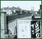
Tyseley Shed: gwrt2404
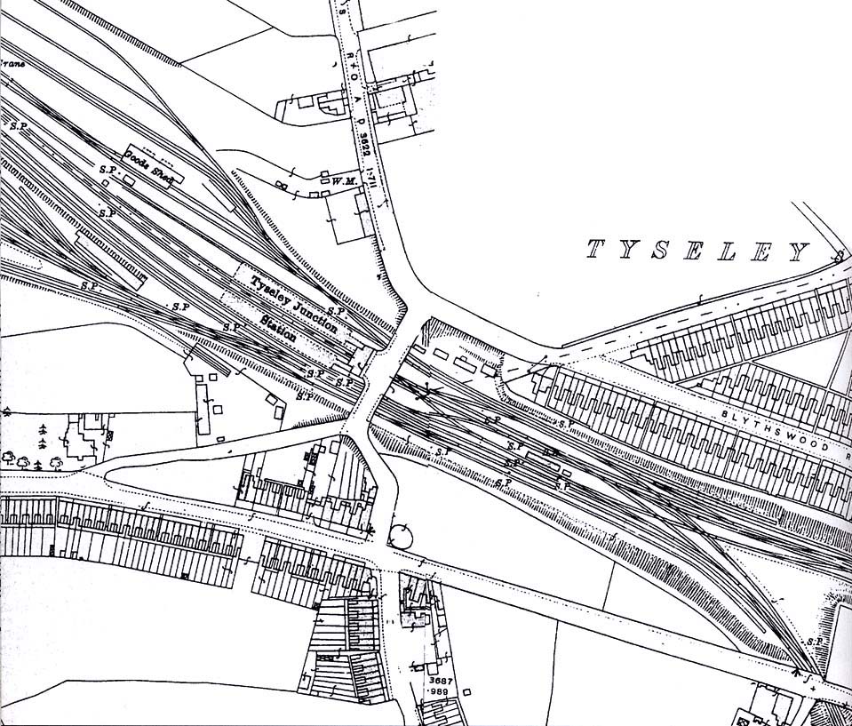
A 1916 Ordnance Survey map showing Tyseley Junction station
and, on the left, the access to the carriage sidings. Wharfdale Road crossed
the railway at angle - from bottom left to top right - with the bridge, upon
which the main station building was located, being constructed approximately at
90° to the lines.
 back back
|
|
|