|
|
 |
|
|
London North Western
Railway:
Midland
Railway:
Stratford
Midland Junction Railway
|
|
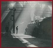
Soho East Junction
Soho East Junction was one of three junctions on the
triangle that allowed traffic from New Street station, Wolverhampton High Level
station and Perry Barr station to connect with each other. See
Soho Soap Works Junction and
Winson Green Junction for views of the
other two junctions.
Ordnance Survey maps and diagrams
|
|
|