|
|
 |
|
|
London North Western
Railway:
Midland
Railway:
Stratford
Midland Junction Railway
|
|
LMS Route: Water Orton to Walsall
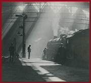
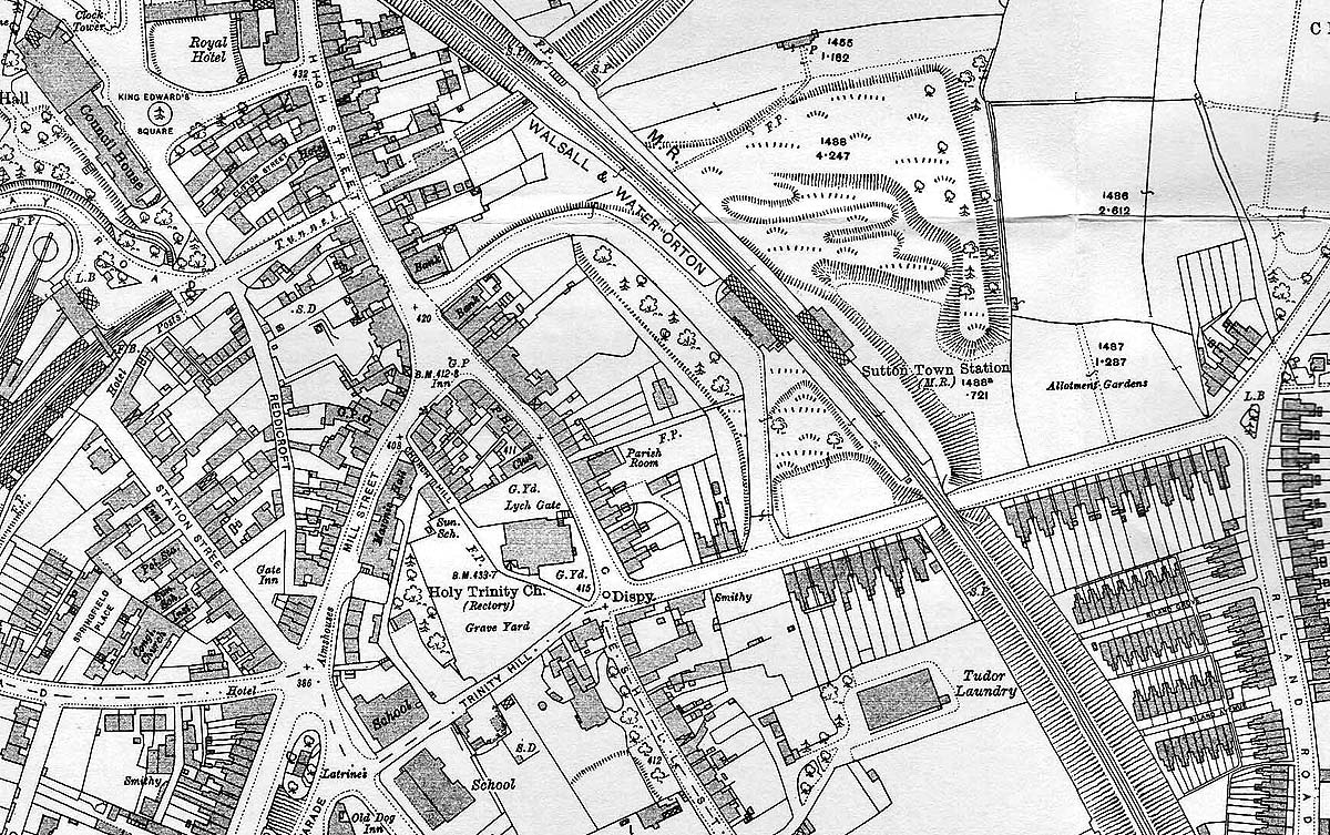
Sutton Town Station: mrsc1153
The 1913 Ordnance Survey map showing the location of the MR
Sutton Town station in relation to the LNWR station. Its interesting to note
that the building on the down platform is nearly as large as that seen on the
up platform, the latter being the one in the photograph. Its also noteworthy
that both structures are shown to have canopies which are longer in length than
either building and cover the full width of the platform. Photographic evidence
does not show this feature at any other station on the Water Orton to Walsall
line. The map of the LNWR station (on the left) shows that behind the station
passenger ramp existed a turntable.
 back back
|
|
|